

Description
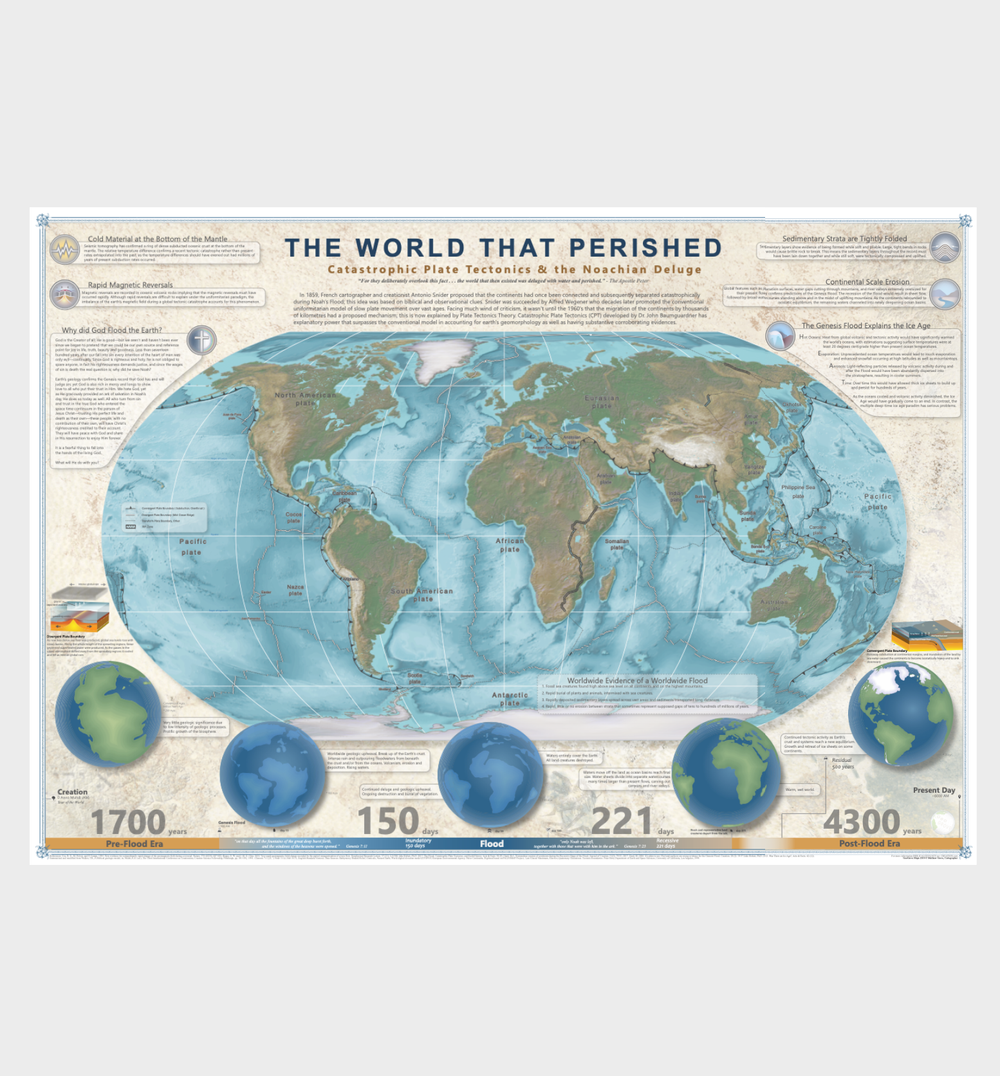
Discover a one-of-a-kind, vibrant map that masterfully blends cutting-edge scientific data with the biblical timeline, offering a unique insight into Earth’s history. “The World that Perished: Catastrophic Plate Tectonics and the Noachian Deluge” artfully utilizes infographics and cartography to shed light on the righteousness of God, showcasing compelling evidence of a watery judgment and the dramatic formation of the planet’s defining features, including extensive global sedimentary layers, magnetic reversals, glaciation, and more!
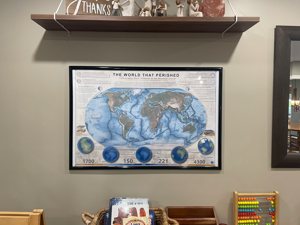
This captivating map is a perfect addition to any home office or classroom wall.
What the map shows
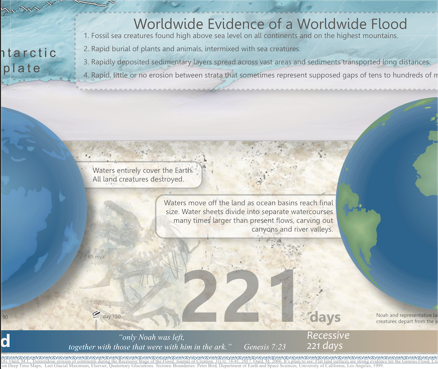
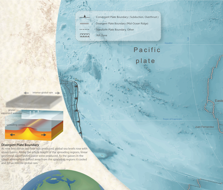
The World That Perished presents a world map with the tectonic plates labelled, surrounded by infographics and a timeline that runs from the pre-flood era through the Flood to the post-flood era, illustrated with a series of globes. Panels explain topics such as rapid magnetic reversals, cold material at the bottom of the mantle, tightly folded sedimentary strata, continental-scale erosion, the ice age, and evidence for a worldwide Flood.
Who it is for
This map is made to hang on a home office or classroom wall. It is a good fit for teachers, students and anyone interested in how the biblical timeline and earth-science data can be read together.
Size, ordering and shipping
The poster measures 34.95 x 24.26 inches (width x height). Shipped from Canada; options, costs and delivery times depend on your location and are confirmed with you before you pay. Order through our Etsy shop with the Purchase button, or pay with Bitcoin: use the Pay in Bitcoin button and email us your complete shipping address (see Shipping & Returns). Need something different? We also design custom maps – see What We Do.
Poster Dimensions: 34.95×24.26 inches
Enhance your understanding of Earth’s past with this visually stunning map – order yours today!

Reviews
There are no reviews yet.